
East Coast Storm & Surf Live Cams: How to Watch Nor'easters, Big Swells & Hurricane Surge
Watch powerful Atlantic ocean storms and big surf in real time. Track Nor'easters, offshore swells, and coastal storm surge from Maine and Martha's Vineyard down through the Outer Banks and Florida.
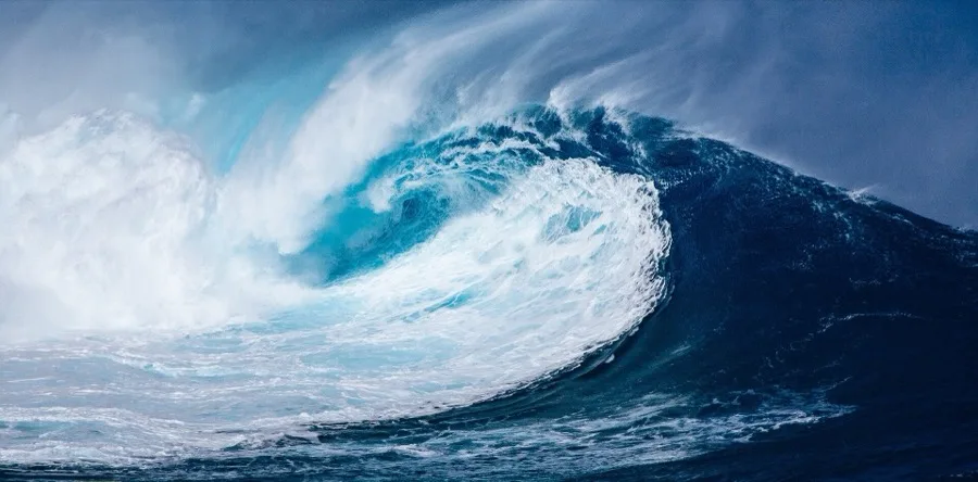
Watching a severe coastal storm hit the Atlantic seaboard from the safety of a live webcam is one of the most compelling sights in weather monitoring. From freezing winter Nor'easters that batter the rocky headlands of Maine to spinning tropical hurricanes pushing massive storm surges across the Carolinas and Florida, the Atlantic coast experiences some of the most dynamic wave action on the planet.
1. The Atlantic Wave Engine: Nor'easters vs. Hurricane Swells
Bottom line: East Coast big wave events come from two distinct weather engines: multi-day winter Nor'easters in the North and fast-moving tropical systems in the South.
Coastal waves are created by wind dragging across open water (fetch). On the US Atlantic coast, wave behavior depends entirely on the type of storm:
- Nor'easters (October to April): Cold arctic air colliding with the warm Gulf Stream offshore creates powerful extratropical cyclones. These systems stall for days, blowing gale-force winds directly from the northeast onto coastal beaches. They create relentless, punishing surf, heavy beach erosion, and freezing sea spray. (While these systems hammer the shoreline with giant waves, their inland bands dump heavy early snow on northern peaks; see our Ski Resort Snow Conditions Guide). In early autumn, early nor'easter winds can also accelerate inland leaf drop; follow the ridge wave in our New England Fall Foliage Guide.
- Hurricanes & Tropical Swells (June to November): Warm tropical storms moving north through the Caribbean or curving offshore into the open Atlantic act like massive wave generators. Even a Category 3 hurricane hundreds of miles out to sea can send clean, towering 15-foot ground swells into east-facing beaches under clear blue skies.
2. Stage 1: New England & Long Island (The Nor'easter Front)
Bottom line: When arctic low-pressure systems track up the coast, northern rocky bluffs and exposed sandy bars take the full brunt of open-ocean swells.
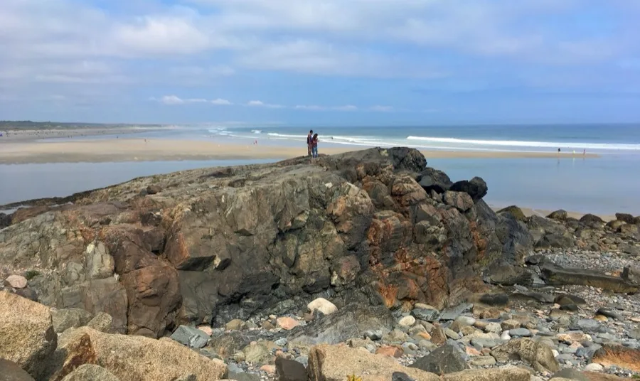
In southern Maine, rocky granite shorelines meet raw Atlantic waters. Along Ogunquit's Marginal Way, waves crash directly against ancient rock ledges, sending plumes of white sea spray tens of feet into the air during high-wind events:
Just south along Saco Bay, Old Orchard Beach Pier extends nearly 500 feet into the open ocean. Its wooden pilings provide an immediate visual scale for wave height and storm-driven high tides:
Off the coast of Massachusetts, the exposed western tip of Martha's Vineyard at Aquinnah (Gay Head Cliffs) faces the open Atlantic. During major offshore storms, heavy ground swells wrap around the colorful clay cliffs:
On the south shore of New York's Long Island, the barrier beaches of the Hamptons are completely unprotected. At Amagansett's Atlantic Avenue Beach, winter Nor'easters carve steep erosion scarps into the sand dunes:
3. Stage 2: Mid-Atlantic & Carolina Outer Banks (Beach Breaks & Frontline Piers)
Bottom line: From the sandy barrier islands of New Jersey to the Cape Hatteras coast, sandbars produce world-class storm surf and beach flooding.
New Jersey's barrier island coastlines are famed for their seaside boardwalks. In Atlantic City, the live boardwalk camera looks out over wide beaches and rolling surf, revealing how close high storm surges creep toward historic casino piers:
Further south in North Carolina, the coastline juts out hundreds of miles into the Atlantic, placing it directly in the path of curving hurricanes and Nor'easters. At Wrightsville Beach, Johnnie Mercer's Pier is a reinforced concrete fishing pier built specifically to withstand hurricane-force seas:
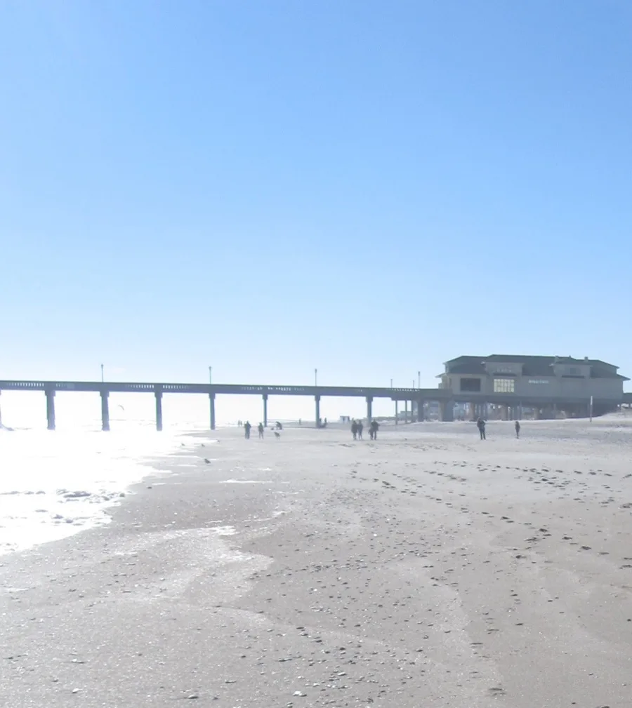
Just down the coast at Carolina Beach, surf schools operate on sandbars that light up with perfectly peeling rights and lefts whenever an offshore tropical storm pushes long-period swells toward shore:
4. Stage 3: Florida Atlantic & The Gulf Coast (Tropical Swells & Hurricane Watch)
Bottom line: Florida features two distinct ocean environments: an energetic Atlantic side exposed to transatlantic swells, and a warm, shallow Gulf Coast vulnerable to rapid storm surge.
In Northeast Florida, Jacksonville Beach Pier extends nearly a quarter-mile into the Atlantic. During hurricane season, waves break far outside the normal surf zone around the pier's seaward pilings:
In South Florida, the Atlantic continental shelf narrows significantly. In Deerfield Beach, the surf cam provides a front-row view of fast-breaking shorebreak and wind swells right off the coastal highway:
On Florida's northwest panhandle along the Gulf of Mexico, the emerald waters of Panama City Beach are normally placid and flat. However, when tropical storms or hurricanes enter the Gulf, shallow bathymetry allows massive storm surges to push ocean water deep onto the white sand resort strip:
5. Hurricane & Storm Surge Watch: The Safe Way to Track Storms
Bottom line: Always rely on official NOAA advisories. Never visit a shoreline under an active coastal flood or hurricane warning.
Webcams allow weather enthusiasts to observe the raw power of the ocean without putting lives in danger. When tracking severe coastal events, keep these official guidelines in mind:
- Follow the Official Track: Use the NOAA National Hurricane Center (NHC) for tropical cyclone forecasts, and the National Weather Service (NWS) for coastal flood watches and Nor'easter advisories.
- Watch the Water, Not Just the Wind: Storm surge—the abnormal rise of water generated by a storm's winds pushing water toward the coast—is the deadliest aspect of hurricanes. Check nearby NOAA Tides & Currents stations to see how far water levels exceed normal astronomical tides.
- Expect Stream Outages: When high winds topple power lines or storm surge floods coastal transformers, beach cameras will drop offline. An offline camera during a hurricane landfall is a normal indicator of widespread utility failure.
6. The 30-Second Surf & Storm Cam Field Check
Bottom line: Count swell seconds, look for whitecaps, and compare waterlines against known coastal structures.
Before analyzing wave conditions on a live feed, use this 4-step checklist:
- Count Swell Period (Seconds Between Waves): Watch a stationary point (like a pier piling or buoy) and count the seconds between wave crests. Short 5–8 second intervals mean messy local wind chop. Long 12–16 second intervals mean a powerful, clean ground swell from a distant storm.
- Check for Offshore vs. Onshore Wind: If the sea is covered in chaotic white foam and blowing spray toward the camera, winds are onshore (messy waves). If the face of the wave looks glassy and spray blows backward out to sea, winds are offshore (ideal surf conditions).
- Compare High Water Against Fixed Landmarks: Instead of guessing wave height, check water lines against fixed structures—such as lifeguard towers, pier pilings, or dune stairways.
- Sea Spray & Lens Vibration: Heavy streaks of sea spray clinging horizontally to the camera dome indicate driving onshore storm winds. When live video begins vibrating or shaking rapidly, the camera pole or mount is taking direct coastal gusts.
Frequently Asked Questions
What is the difference between a Nor'easter and a hurricane on a live webcam?
How can I tell the difference between local wind chop and ground swell on a webcam?
Why do beach webcams go offline during severe coastal storms?
Official Resources & Weather Data
More Viewing Guides
Explore real-time observation guides across global destinations.