
I-80 & I-580 Nevada Interstate Corridor
Live mountain pass webcams and highway cameras across Northern Nevada along Interstate 80 and Interstate 580.
Route Condition Guide
Key checkpoints, mountain passes, and driving considerations.
The I-80 corridor through Nevada serves as a critical trans-continental transportation artery crossing high desert basins and mountain passes. Key checkpoints include the California-Nevada state line gateway, urban commuter stretches through Reno-Sparks, and high-elevation summit passes toward Winnemucca and Elko. During winter, cameras provide crucial visual confirmation of chain controls and snowpack conditions.
Interactive Route Map
Roadside camera locations along the I-80 & I-580 Nevada Interstate Corridor corridor.
Sequential Highway Webcams
Sequential cameras along the travel corridor in order of route progression.
-
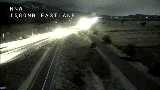 I580 NB East Lake Onramp
-
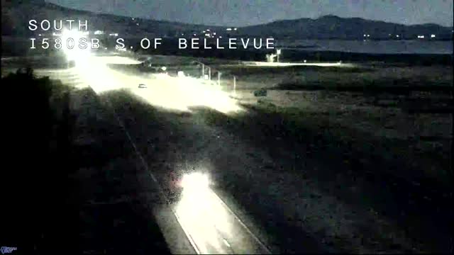 I580 SB South of Bellevue
-
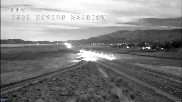 I580 NB Bowers Mansion Highmast
-
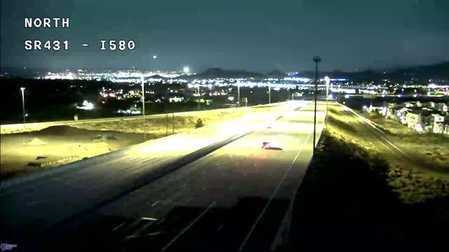 I580 @ SR431 Off Ramp NB
-
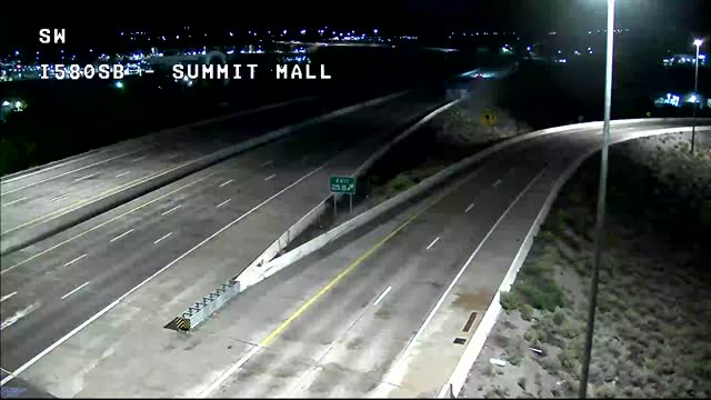 I580 @ Summit Mall SB
-
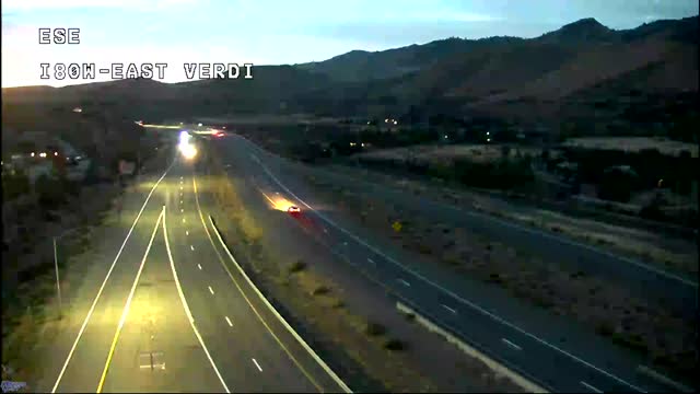 I80 @ East Verdi
-
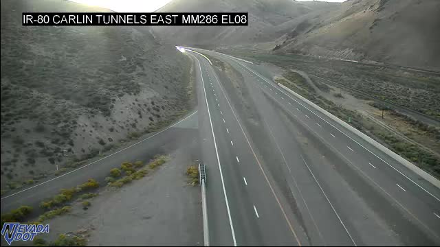 I-80 WB East Side of Carlin Tunnel 80 Foot Pole MM
-
 I-80 EB FLIR east side of Tunnel EL8
-
I-80 WB FLIR Camera East Side of Tunnel EL8
-
I-80 EB FLIR west side of Tunnel EL7.5
-
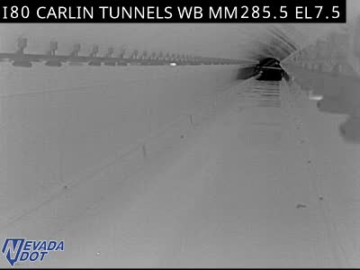 I-80 WB FLIR Camera West Side of Tunnel EL7.5
-
 IR-80 MM 321Halleck EL43
-
I80 WB Exit 1 GoldRanch
-
 I80 Imlay MM144 PE55.8
-
 I80 WINNEMUCCA MM180 HU17
-
 I-80 & Golconda East Bound MM196 Chain Up HU32
-
 IR-80 MM 200 Golconda Summit HU33
-
 I80 Battle Mountain MM231 LA6.2
-
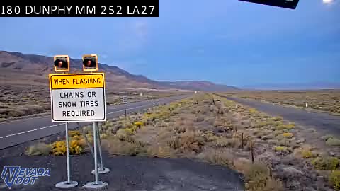 I80 Dunphy MM252 LA26.87
-
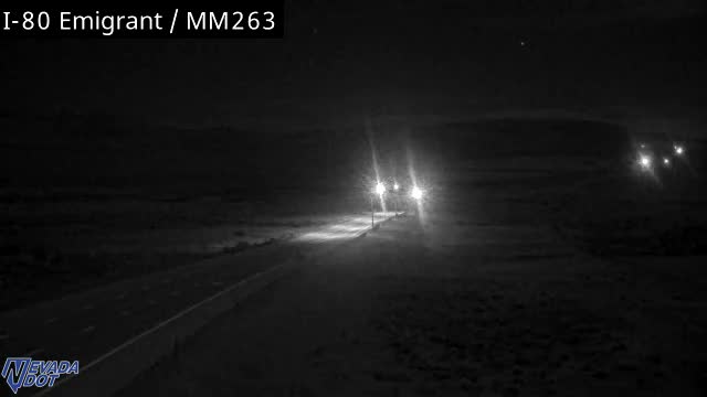 I-80 Emigrant E/B Chain Up MM263 EU10.5
-
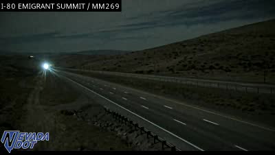 IR-80 MM 269 Emigrant Summit EU 18
-
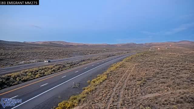 I-80 Emigrant W/B Chain Up MM275 MM23.5
-
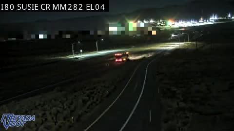 IR80 SUSIE CR MM282 EL04
-
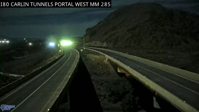 IR-80 MM 285 Carlin Tunnel West EL 7.5
-
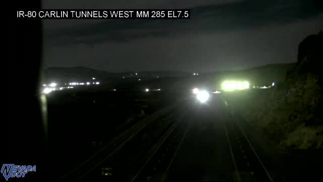 I-80 West Side of Carlin Tunnel 80 Foot Pole MM285
-
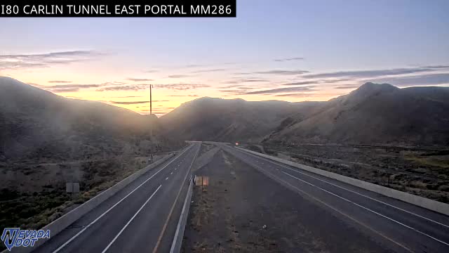 IR-80 MM 286 Carlin Tunnel East EL08
-
 IR-80 MM 298 West Elko EL22
-
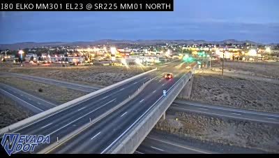 I80 & SR225 North MM 301 EL23
-
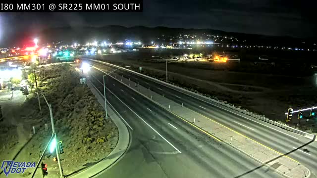 I80 & SR225 South MM 301 EL23
-
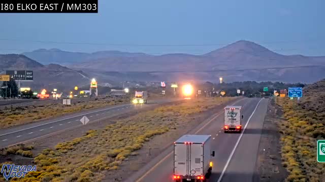 IR-80 MM 303 East Elko EL18
-
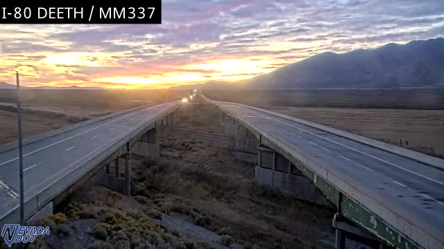 IR-80 MM 337 Deeth EL 59.5
-
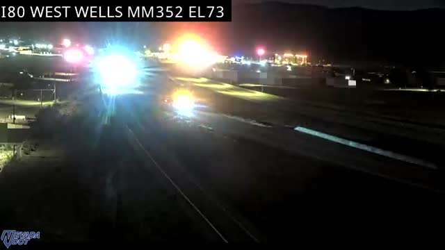 IR-80 MM 352 Wells West EL73
-
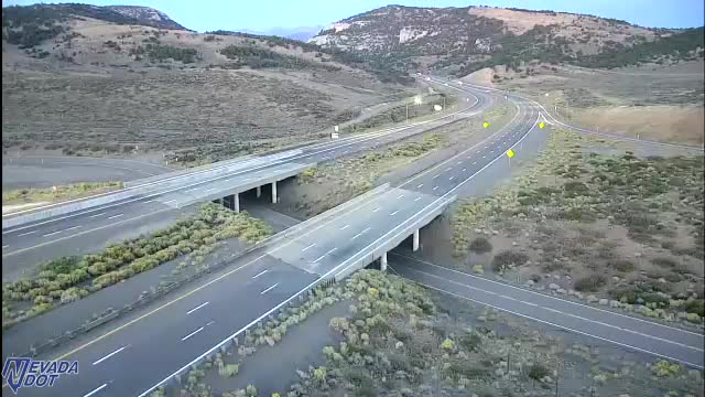 IR-80 MM375 Pequop Summit EL95
-
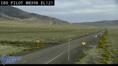 IR-80 MM 398 Pilot Valley EL100
-
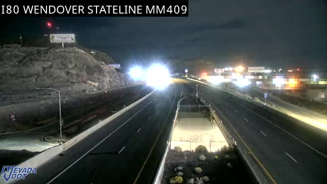 IR-80 MM 409 Wendover @ Stateline EL132
Official Source & Transparency
Data provided by public highway authorities and open transport APIs.
Camera streams and snapshots on this corridor are supplied by Nevada Department of Transportation. For emergency highway closures, chain restrictions, or real-time road conditions, visit the official agency portal at https://www.nvroads.com/.