
I-405 Los Angeles Corridor
Caltrans traffic snapshots along I-405 in Los Angeles County, from the I-605 interchange to the north side of Burbank Boulevard.
Route Condition Guide
Key checkpoints, mountain passes, and driving considerations.
Follow the San Diego Freeway from south to north past the I-605 interchange and Long Beach, the I-105 interchange near LAX, and the US-101 interchange in the San Fernando Valley. The cameras show selected points along the freeway, with gaps between monitored locations.
Interactive Route Map
Roadside camera locations along the I-405 Los Angeles Corridor corridor.
Sequential Highway Webcams
Sequential cameras along the travel corridor in order of route progression.
-
 I-405 : (323) I-605
-
 I-405 : (324) Palo Verde Ave
-
 I-405 : (325) Bellflower Blvd
-
 I-405 : (332) West of Pacific Place
-
 I-405 : (333) Sante Fe Ave
-
 I-405 : (334) East of Alameda St
-
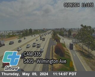 I-405 : (335) Wilmington Ave
-
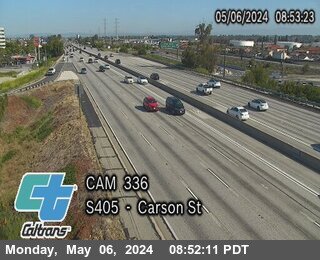 I-405 : (336) Carson St
-
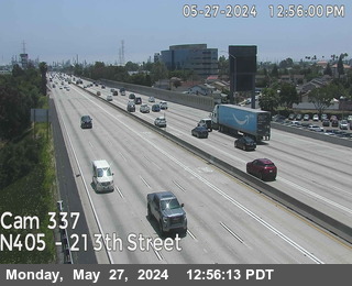 I-405 : (337) 213th Street
-
 I-405 : (339) North of Avalon Blvd
-
 I-405 Northbound Connector to I-105 Eastbound
-
 I-405 : (861) South of Imperial Hwy On-Ramp
-
 I-405 : (862) South of Imperial Hwy
-
 I-405 : (863) North of Imperial Hwy On-Ramp
-
 I-405 South of Century Boulevard
-
 I-405 : (867) South of Century Blvd On-Ramp
-
 I-405 : (868) EB Century Blvd On-Ramp
-
 I-405 : (869) WB Century Blvd On-Ramp
-
 I-405 : (870) North of Century Blvd On-Ramp
-
 I-405 : (872) Manchester Blvd On-Ramp
-
 I-405 : (873) North of MANCHESTER BLVD
-
 I-405 : (359) La Tijera
-
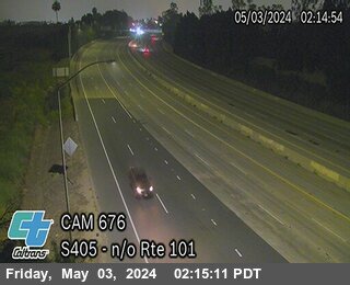 I-405 : (676) North of US-101
-
 I-405 : (677) North of Burbank Blvd
Official Source & Transparency
Data provided by public highway authorities and open transport APIs.
Camera streams and snapshots on this corridor are supplied by Caltrans. For emergency highway closures, chain restrictions, or real-time road conditions, visit the official agency portal at https://quickmap.dot.ca.gov/.