
Highway 99: Vancouver to Whistler Corridor
Real-time coastal and alpine mountain highway webcams connecting Metro Vancouver, Squamish, and Whistler Resort.
Route Condition Guide
Key checkpoints, mountain passes, and driving considerations.
British Columbia's Highway 99 winds along Howe Sound and ascends into the Coast Mountains, connecting Vancouver with Whistler Blackcomb and Pemberton. The Sea-to-Sky section is renowned for dramatic weather changes between sea level and mountain summits. Webcams along this route allow drivers to inspect road surface moisture, snow accumulation, and traffic density before heading into alpine corridors.
Interactive Route Map
Roadside camera locations along the Highway 99: Vancouver to Whistler Corridor corridor.
Sequential Highway Webcams
Sequential cameras along the travel corridor in order of route progression.
-
 Highway 99 near Douglas (Peace Arch) Canada/USA border, looking south.
-
 Highway 99 at 8 Avenue in White Rock, looking north.
-
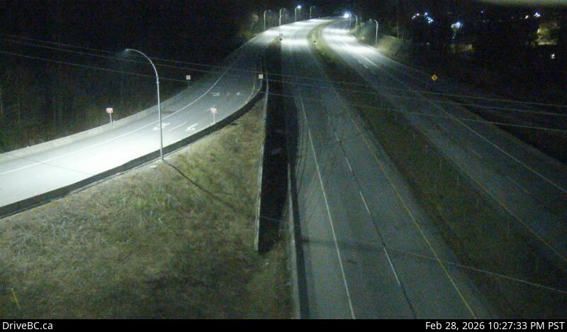 Highway 99 at 16 Avenue, looking south.
-
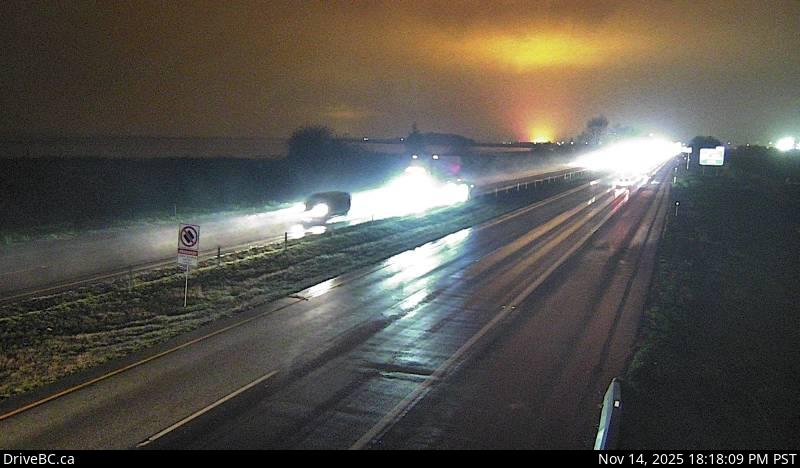 Highway 99, near Highway 91 around Mud Bay in Surrey, looking west on Highway 99 northbound.
-
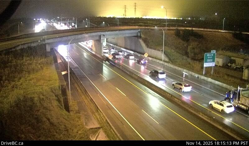 Highway 99 at Highway 17 in Delta, looking east.
-
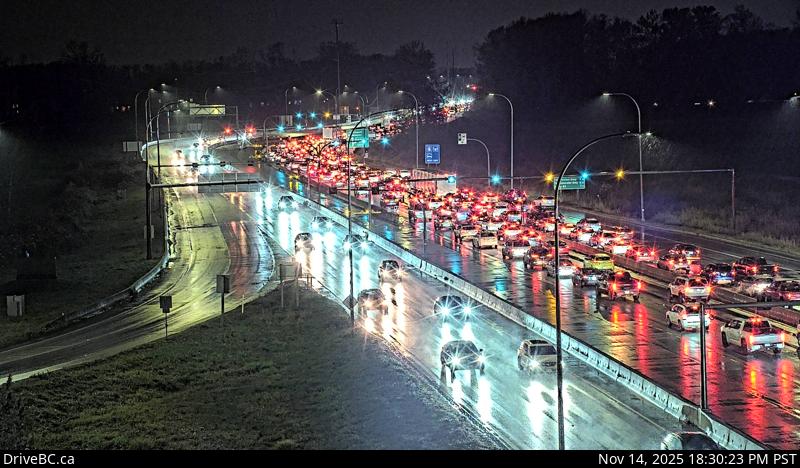 Highway 99 from Highway 17A overpass, looking northbound.
-
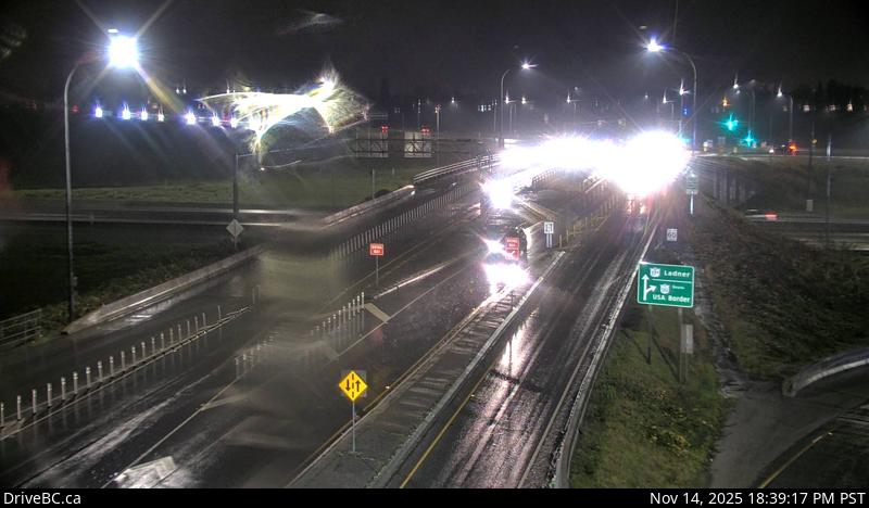 Highway 99 at Highway 17A overpass, looking south to Highway 17A.
-
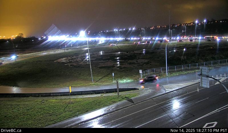 Highway 99 at Highway 17A overpass, looking west on Highway 99 at northbound lanes.
-
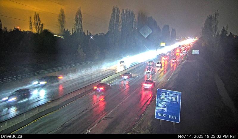 Highway 99 between Blundell Road overpass and Steveston off-ramp, looking south.
-
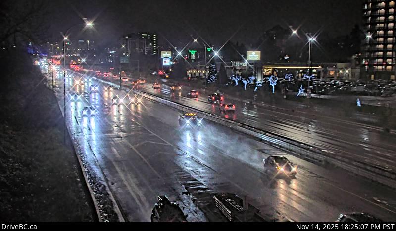 Highway 99 at Cambie Road in Richmond, looking north.
-
 Lions Gate Bridge north end, looking south.
-
 Lions Gate Bridge north end, looking north.
-
 Marine Drive at Taylor Way, looking east toward Lions Gate Bridge.
-
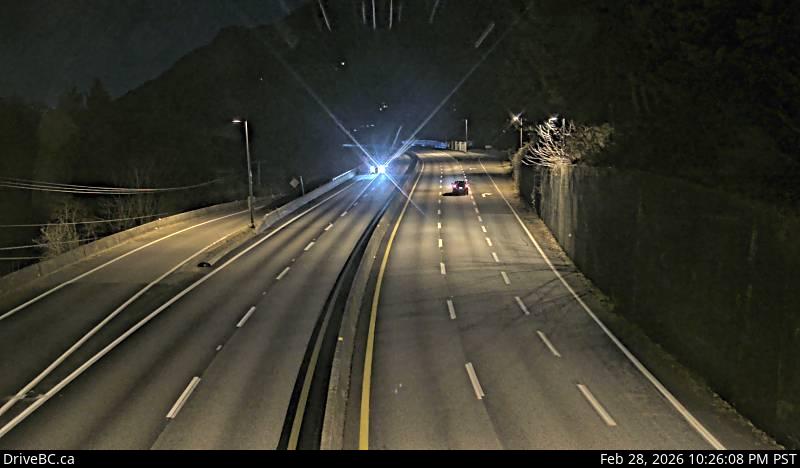 Highway 99 in Lions Bay, looking north.
-
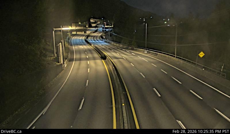 Hwy 99, in Lions Bay looking south.
-
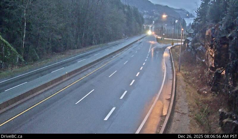 Highway 99 about 12 km south of Squamish, looking south.
-
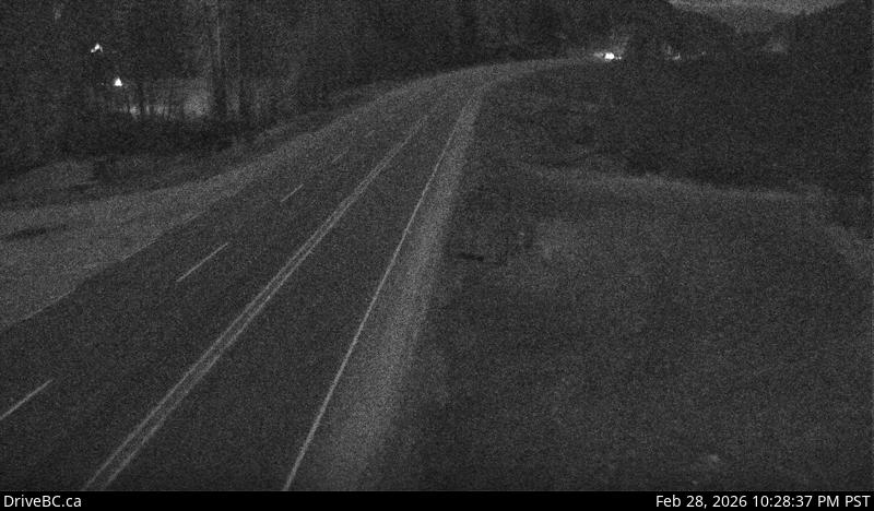 Highway 99 about 24 km north of Squamish, looking south.
-
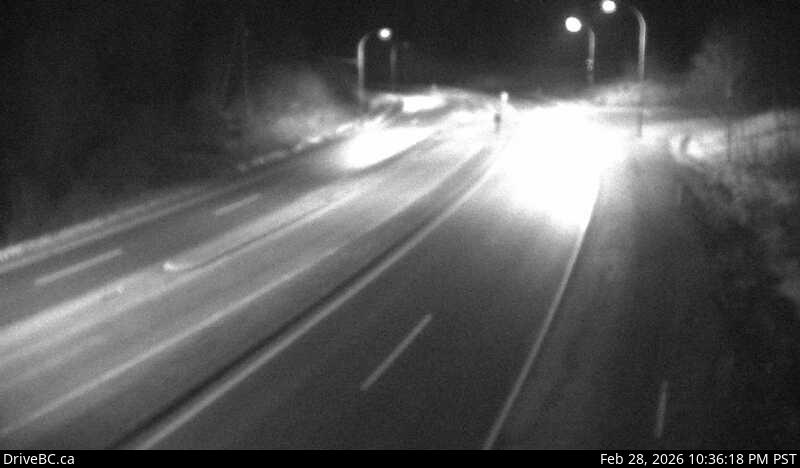 Highway 99 at Daisy Lake Road, looking north.
-
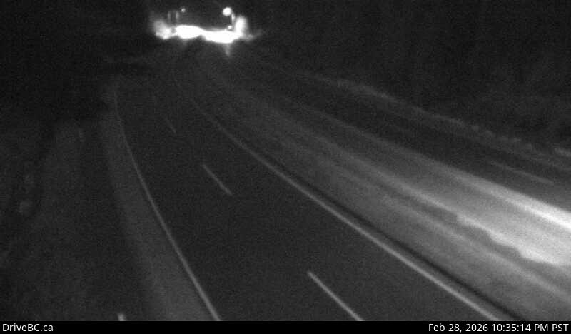 Highway 99 at Daisy Lake Road, looking south.
-
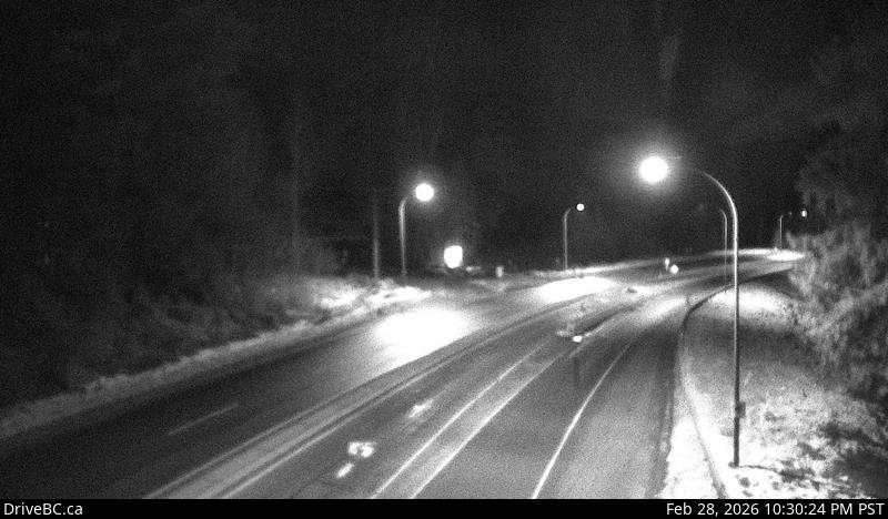 Highway 99 near Brew Creek Forest Service Road, looking north.
-
 Highway 99 near Brew Creek Forest Service Road, looking south.
-
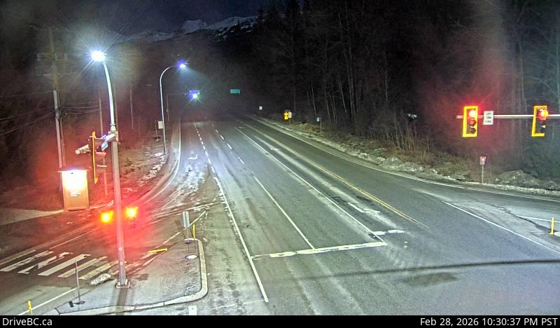 Highway 99 at Cheakamus Lake Road and Alpha Lake Road, looking north.
-
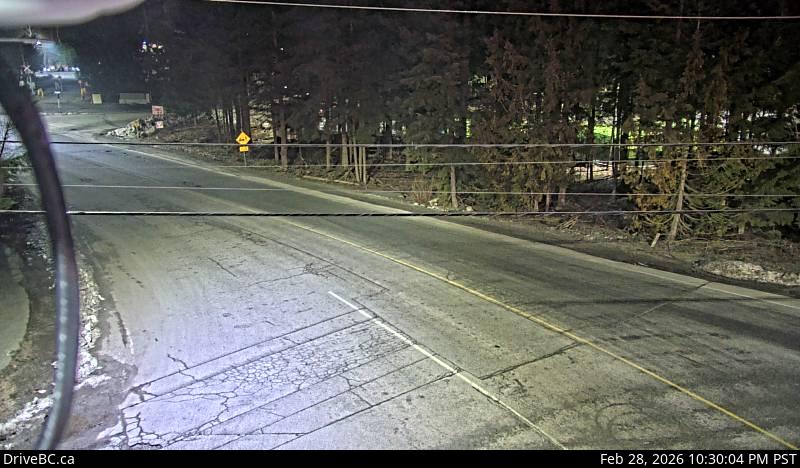 Highway 99 at Cheakamus Lake Road and Alpha Lake Road, looking west.
-
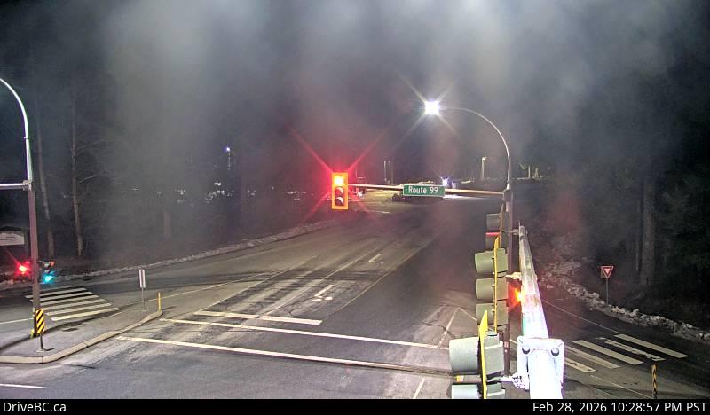 Highway 99 at Cheakamus Lake Road and Alpha Lake Road, looking east.
-
 Highway 99 at Bayshore Drive, looking southbound.
-
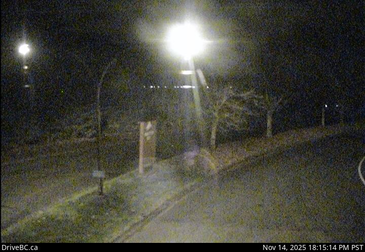 Highway 99 at Lorimer Road in Whistler, looking west.
-
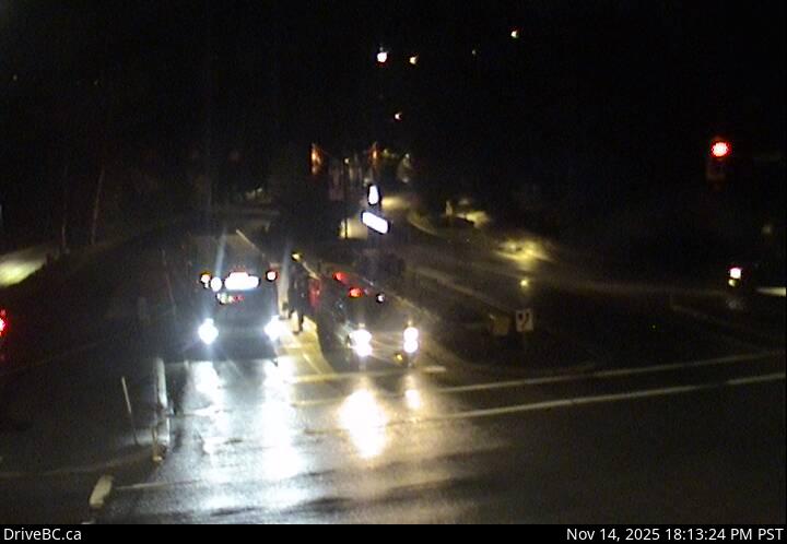 Highway 99 at Lorimer Road in Whistler, looking east.
-
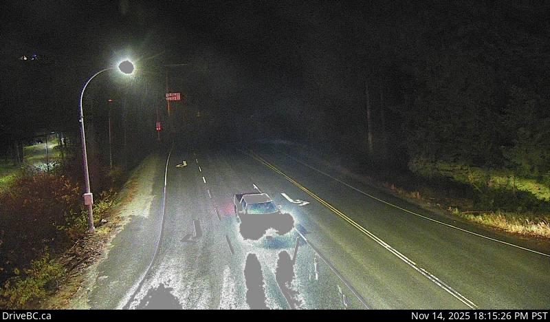 Highway 99 at Alpine Way, looking north.
-
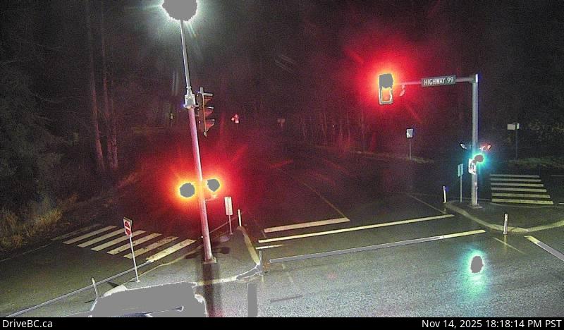 Highway 99 at Alpine Way, looking east.
-
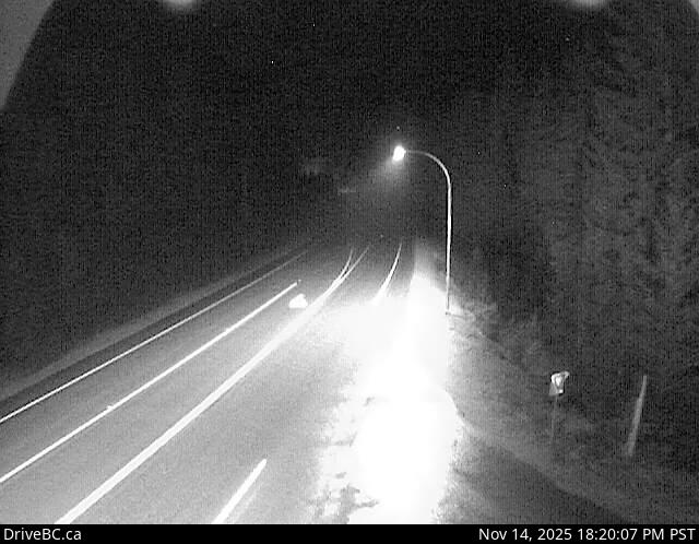 Highway 99 about 13 km north of Whistler at Riverside Drive, looking north.
-
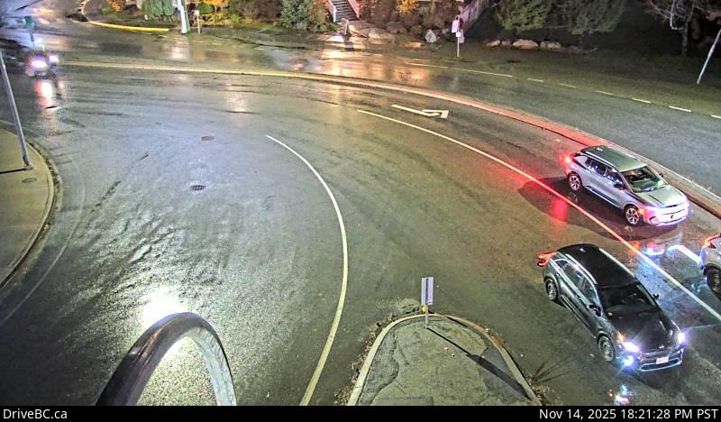 Highway 99 at Portage Road in Pemberton, looking north.
-
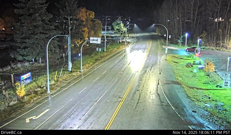 Highway 99 at Portage Road in Pemberton, looking west.
-
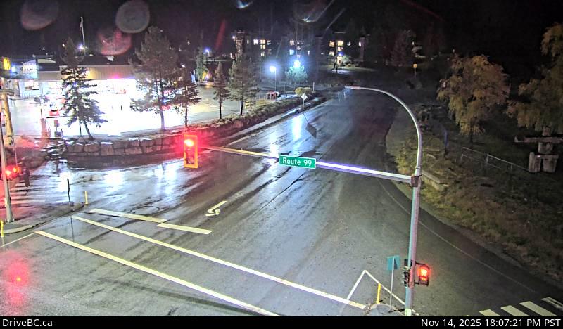 Highway 99 at Portage Road in Pemberton, looking south.
-
 Highway 99 (Duffey Lake Road) at Cayoosh summit, looking east.
-
 Highway 99 about 15 km north of Lillooet near Fountain Slide, looking southwest.
Official Source & Transparency
Data provided by public highway authorities and open transport APIs.
Camera streams and snapshots on this corridor are supplied by DriveBC. For emergency highway closures, chain restrictions, or real-time road conditions, visit the official agency portal at https://www.drivebc.ca/.